
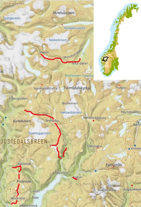
Breheimen er området som ligger øst for Jostedalsbreen og nord og vest for Jotunheimen. Her er flere DNT-hytter, både selvbetjente og betjente og en svært variert natur. Det er mange veier inn i området, og bildene på denne nettsiden er fra de nordlige områdene. Lenker til kart og praktisk informasjon om området finner du nederst på siden.
Breheimen, or «home to the glaciers» is located east of the Jostedalsbreen glacier and north and west of the Jotunheimen area. The mountains are not as alpine as in Jotunheimen, but it is still lots of vertical travel. There are several staffed lodges and many self-service cabins in the area. There is a great diversity in landscape and climate, from dry areas in the northeast and wet climate in the southwest parts. The images on this page are from the northern part of the area. There are many glaciers and snowfields in «Breheimen», hence the name. Links to maps and information provided by the Norwegian walkers association is located at the bottom of the page.


")


